-
 Laurindo Antonio Guasselli
-
João Paulo Delapasse Simioni

François Laurent

 François Laurent


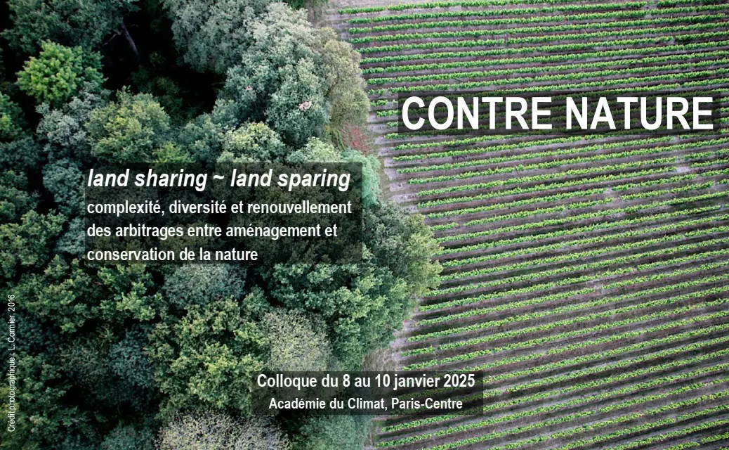
MAPEAMENTO E CLASSIFICAÇÃO DE ÁREAS ÚMIDAS USANDO TOPOGRAPHIC WETNESS INDEX (TWI) A PARTIR DE MODELOS DIGITAIS DE ELEVAÇÃO, NA BACIA HIDROGRÁFICA DO RIO GRAVATAÍ - RIO GRANDE DO SUL, BRASIL

Avec les mêmes mots-clefs
 Publication
Changing Cycling Practices and Covid Cycle Lanes in Five French Cities...


Abstract To encourage a modal shift toward cycling during and after the 2020 lockdown the French national government introduced a €120 million budget ...
 Notice - DOI
Forms of work organisation and renewal of the agricultural workforce in mainland...
Les formes d’organisation du travail connaissent des mutations accélérées ces quinze dernières années sur les exploitations agricoles françaises sous ...
Notice